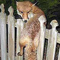
Satellites can now warn Australian drivers to slow down in roadkill-prone areas, in a bid to stem the deaths of some 300,000 wild animals on the island of Tasmania each year.
Researchers Alistair Hobday and Melinda Minstrell spent three years and covered 9,320 miles (15,000 kilometers) recording and mapping roadkill carcasses before uploading their data into a GPS (global positioning system) navigation program.
Source: National Geographic – read whole story.